 This page's pick
Five Lakes and pagoda
Nenba, Oishi, Oshino, pagoda
- Hours
- 10
- At the pagoda
- 15 minutes
- Price
- from $50
Guides
Language
EnglishCurrency
US dollar · $GetYourGuide shows prices in the currency you choose.
Guide · The Five Lakes
The pagoda framed by the volcano is Japan's postcard, and it sits a short climb above a small town. Here is how to see it, and the lakes and spring ponds around it.
Editorial team, mount-fuji-tour.comUpdated October 22, 20266 minutes to read52 sources
Quick answer
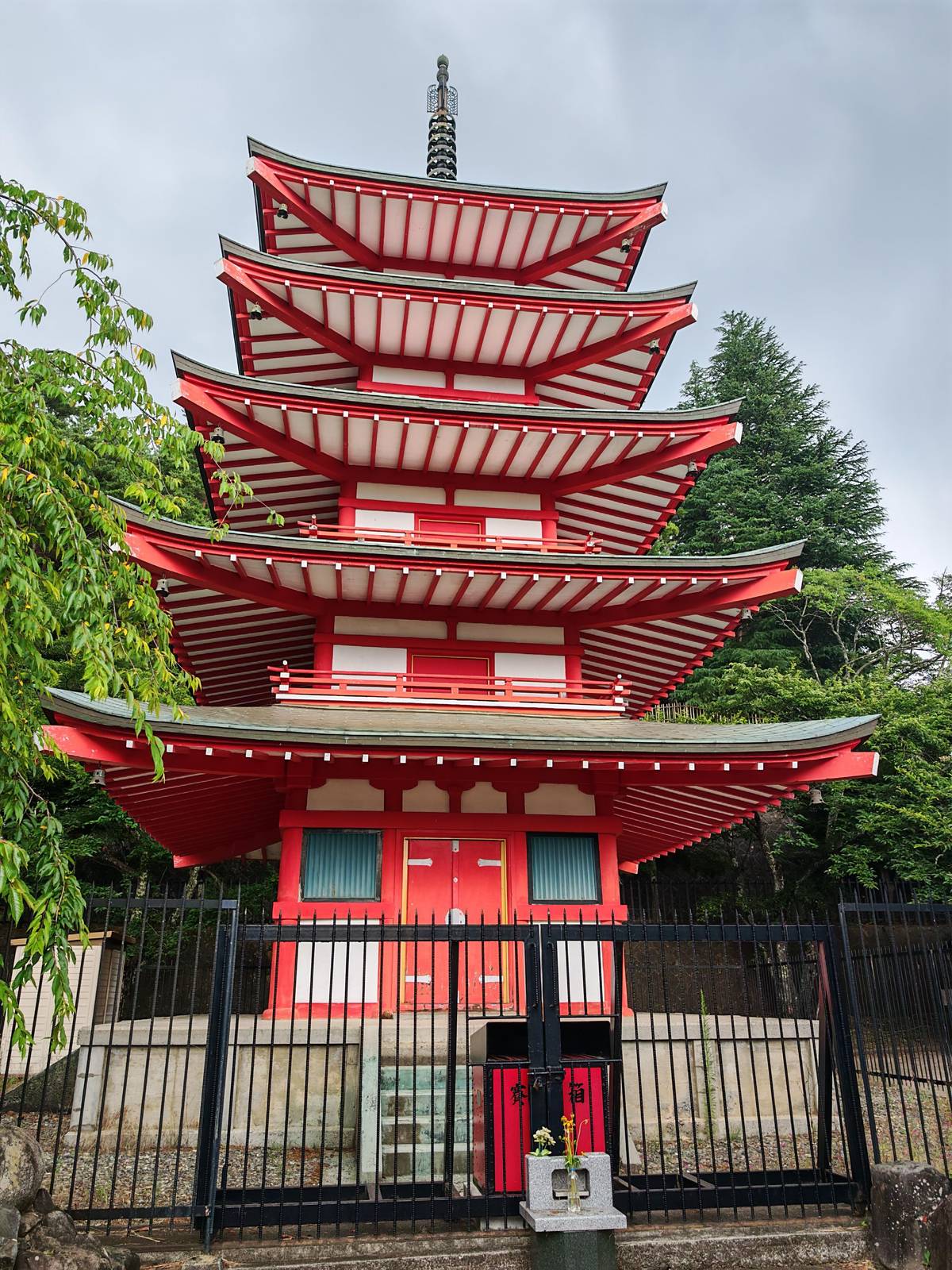
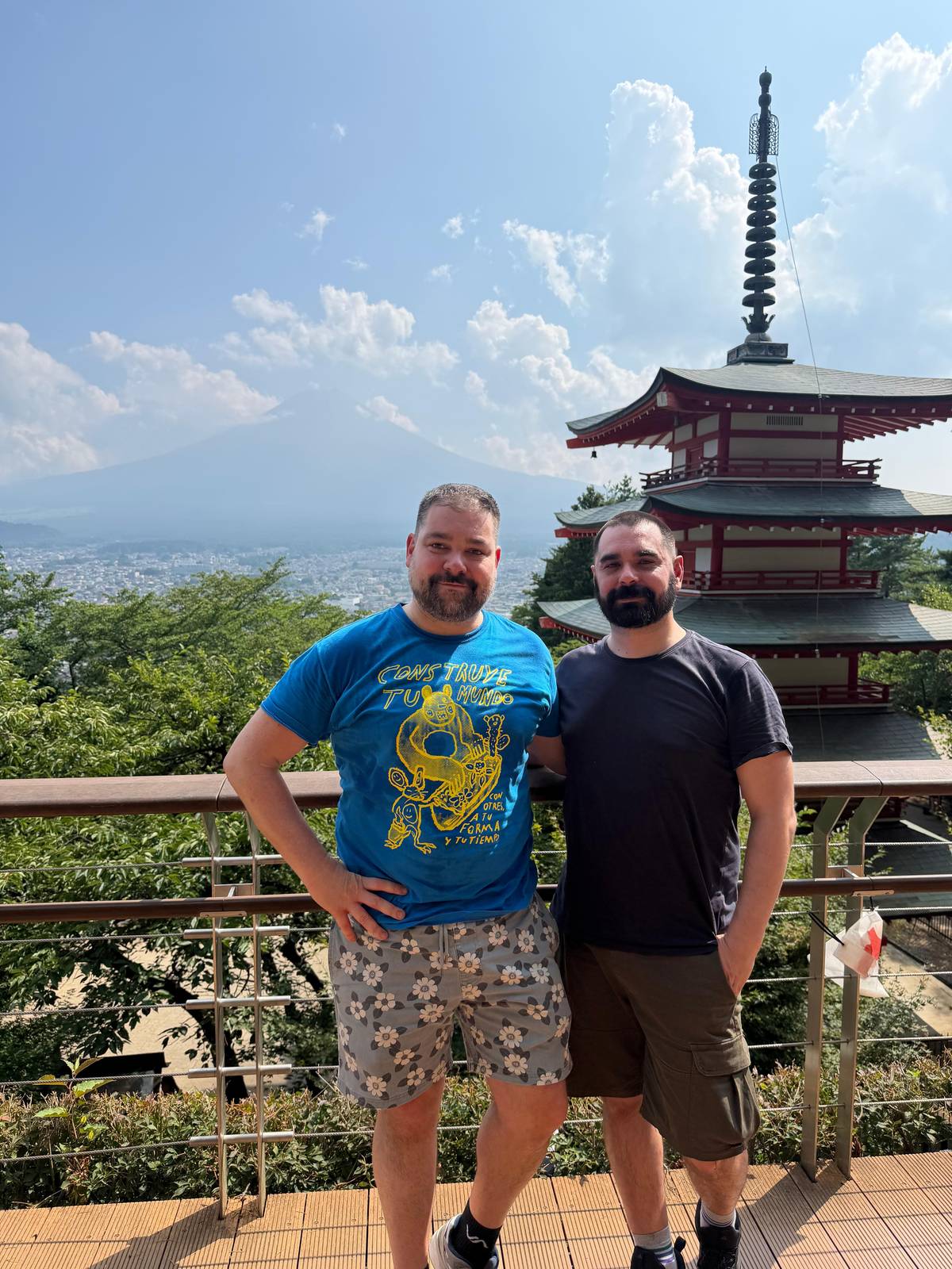
The Chureito Pagoda and Mount Fuji make the single most famous picture of the mountain. Japan's tourism organization ranks this five-storied pagoda as its number one Fuji view, best with cherry blossoms in spring, and calls the shot with the pagoda centred in front of the mountain the most sought-after photo of the Five Lakes area.56
The pagoda stands in Arakurayama Sengen Park above the town of Fujiyoshida. The official city guide describes the observation deck as reached by climbing 398 steps, with the town below and the symmetrical cone beyond.1 In spring about 650 cherry trees bloom around it.7
The park is open 24 hours, and the city lists illumination of the blossoms in the evening.89 To enjoy it in peace, come early in the day, before the coaches arrive, when the low light also falls kindly on the mountain and the town below is still quiet.
This page's tour
First
An hour in the village of thatched houses.
Next
20 minutes at the lake, then Oishi Park.
Midday
An hour among the spring-fed ponds.
Afternoon
30 minutes in the park, then the shrine.
Last
15 minutes at the famous view.
From Shimoyoshida Station on the Fujikyu line, the walk to the pagoda takes about 25 minutes.2 The station lies on the line from Otsuki to Kawaguchiko, which the direct express from Shinjuku also uses.1011 Follow the signs uphill through the residential streets to the shrine at the foot of the park.
The last part is the stair: 398 steps to the observation deck.1 Take it slowly, stop at the landings, and look back now and then; the town opens up below you with each flight. Wear shoes with grip: stone steps get slippery after rain and in winter frost. If the climb is too much, the lower terraces of the park still give a fine view of the mountain over the rooftops.
Coaches cannot reach the park's car parks: the city asks bus passengers to get on and off in front of Shimoyoshida Station.12 Tour itineraries reflect that walk. One popular day lists 30 minutes at Arakurayama Sengen Park, 15 at the shrine and 15 at the pagoda itself.
Fujigoko
| Lake | Known for | On tours | Note |
|---|---|---|---|
| Yamanakako | Nearest to Fuji, Hana no Miyako park | Swan shore stop | Near Oshino Hakkai |
| Kawaguchiko | Core of sightseeing, Oishi Park | Most tours | Station and buses |
| Saiko | Caves, thatched Nenba village | Heritage days | Split off in 864 |
| Shojiko | Smallest, Upside-down Fuji | Not on these days | Largely undeveloped |
| Motosuko | Deepest, 1,000-yen note view | Not on these days | Westernmost |
From the Japan National Tourism Organization and the Japan Meteorological Agency; tour stops from the listings named on this page.1314151617181920
Three ways to see it
This page's pickNenba, Oishi, Oshino, pagoda
 Most time at Oshino
 Most variety
Decision helper
Pick the place, then the day
In particular, in spring, approximately 650 cherry trees bloom, creating a beautiful, quintessentially Japanese landscape with the park's five-story pagoda (Chureito), cherry blossoms, and Mount Fuji.
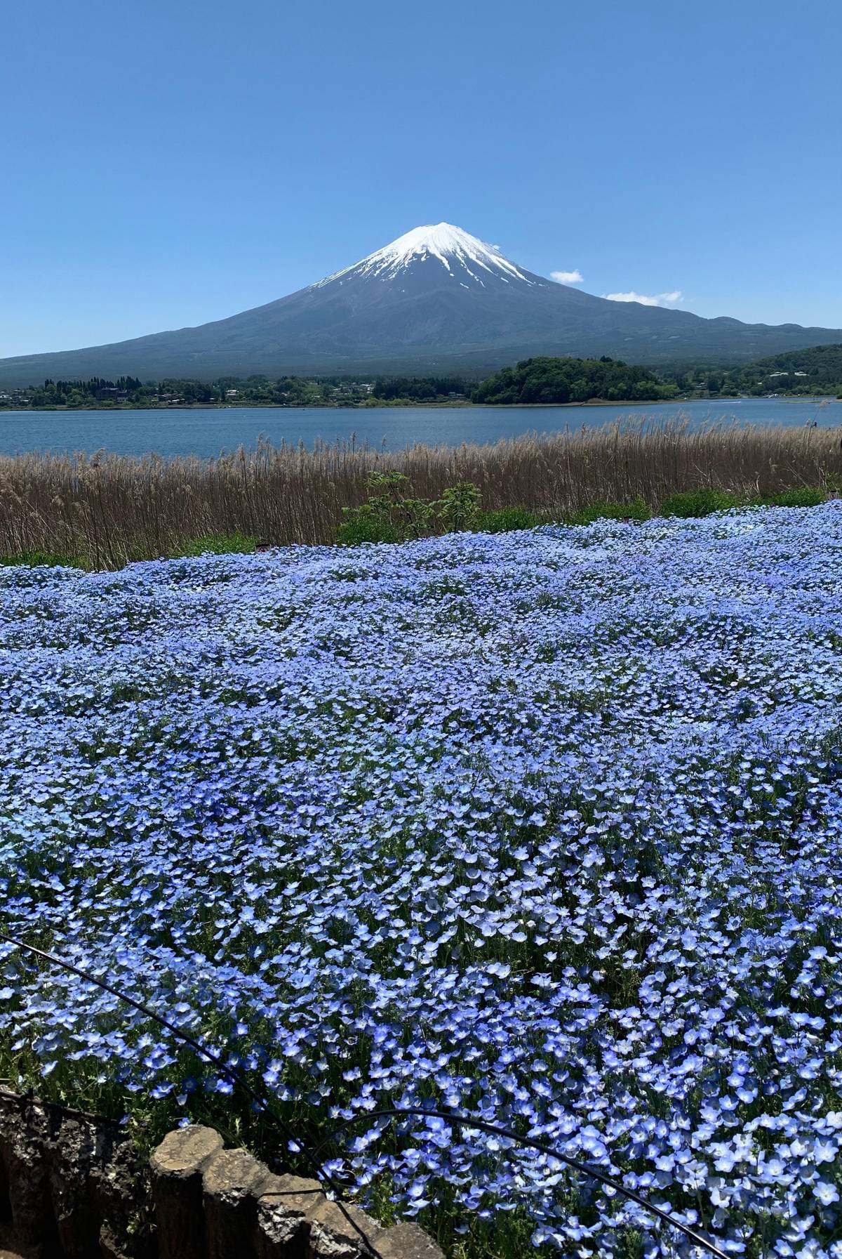
Lake Kawaguchi and Mount Fuji are the pairing most visitors see first. Kawaguchiko is the easiest of the lakes to reach from Tokyo and the core of sightseeing in the area.14 Japan's tourism organization notes that you can frame a snow-capped Fuji with cherry blossoms from Ubuyagasaki in spring, or from Oishi Park in early summer when the lavender blooms.21
In autumn the north shore turns red: the leaves along the northern shore of Lake Kawaguchiko change color in early November.22 From the lake a ropeway climbs Mt Tenjo for views of Fuji from heights of about 1,000 m.23 One tour builds a whole day around it, listing an hour at the Mt. Kachi Kachi Ropeway and 30 minutes in Tenjozan Park.
Kawaguchiko Station is the transport hub. Trains and expressway buses from Tokyo stop there, and the lakeside sights are a short ride or walk away.24 Plan a good part of the day here if you travel independently: the light changes quickly on the water, and on a cloudy day the summit can still clear for a moment if you wait.
Map
First the whole way from Tokyo with Hakone and Kamakura, then the five lakes at the north foot, then the four 5th stations around the summit.
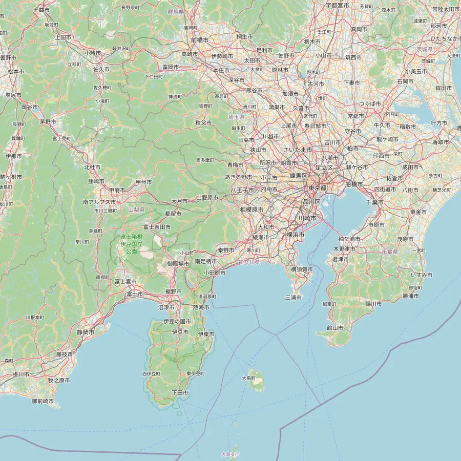 1Tokyo Station2Shinjuku3Kengamine summit4Kawaguchiko Station5Owakudani6Great Buddha, Kamakura
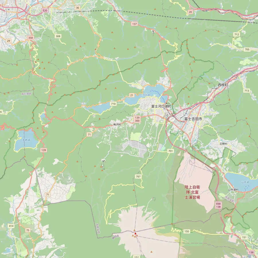 4Kawaguchiko Station7Oshino Hakkai8Lake Yamanaka swan shore9Chureito Pagoda10Oishi Park11Lake Sai12Lake Shoji13Lake Motosu
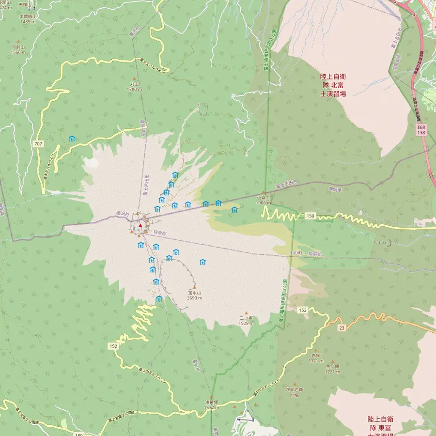 3Kengamine summit14Subaru Line 5th Station15Fujinomiya trailhead16Subashiri 5th Station17Gotemba New 5th Station18Hoei crater
Meeting point of the site tour at 8:00 AM, about 101 km in a straight line from the summit.25
In Google Maps ↗Second meeting point at 8:30 AM; the free 45th-floor observatories of the Tokyo Metropolitan Government stand here.26
In Google Maps ↗The highest point of Mount Fuji, 3,776 m, on the crater rim.27
In Google Maps ↗End of the Fujikyu line, 26.6 km from Otsuki; buses from Shinjuku get here in just under two hours.1024
In Google Maps ↗A 50-minute guided stop of the site tour, reached on the Hakone Ropeway.
In Google Maps ↗A bronze Buddha some 11.3 m tall, begun in 1252, about 74 km east of the summit.282930
In Google Maps ↗Eight spring ponds, a national natural monument since 1934 and part of the World Heritage site.4
In Google Maps ↗Lake Yamanaka is the nearest lake to Fuji; the site tour stops 20 minutes at its swan shore.13
In Google Maps ↗Up 398 steps in Arakurayama Sengen Park, about 25 minutes on foot from Shimoyoshida Station.12
In Google Maps ↗A Lake Kawaguchi park where Fuji rises behind lavender in early summer.21
In Google Maps ↗Split off an older lake by the lava of the Jogan eruption of 864.16
In Google Maps ↗The smallest of the Fuji Five Lakes, known for its Upside-down Fuji reflection.1731
In Google Maps ↗The deepest of the five lakes and the view on the 1,000-yen note.1819
In Google Maps ↗Start of the Yoshida Trail at 2,305 m, with the climbers' gate and Komitake Shrine.323334
In Google Maps ↗Trailhead at 2,000 m; in 2026 the Subashiri Trail opened on 1 July.3738
In Google Maps ↗Trailhead at 1,440 m; the way up is 10.5 km, about 9 hours.39
In Google Maps ↗The southeast-flank crater of the eruption that began on 16 December 1707.40
In Google Maps ↗Checklist
Cost calculator
Enter your group size to compare days to the pagoda and lakes.
Total from$100
per participant from $50
Check availabilityfree cancellationTotals here are a quick sum: the listing's GetYourGuide from-price times your party size, turned into your currency at the ECB rate for today. The final amount appears only at checkout.
Video
The video loads only when you tap play.
Oshino Hakkai and Mount Fuji appear together in the second classic picture of the area: thatched cottages, waterwheels and clear ponds with the mountain behind.41 The area was once a lake that dried out, leaving springs fed by the mountain's groundwater; the ponds of Oshino Hakkai are the best known of them.42
The ponds were made a national natural monument in 1934, chosen among Japan's hundred famous waters in 1985 and included in the World Cultural Heritage in June 2013.4 They were also a pilgrimage site for the Fuji-ko believers who climbed the mountain.43 Wakuike, the main pond, has the most abundant spring, and Kagami-ike is named for the way it mirrors Fuji.4445
The ponds are a natural landscape with no opening hours, except Sokonuke-ike inside a small paid museum.46 Nearly every tour in this guide stops here, for 40 minutes on our featured day and for 1.5 hours on others. Go early or late in the day for the calmest walk between the ponds.
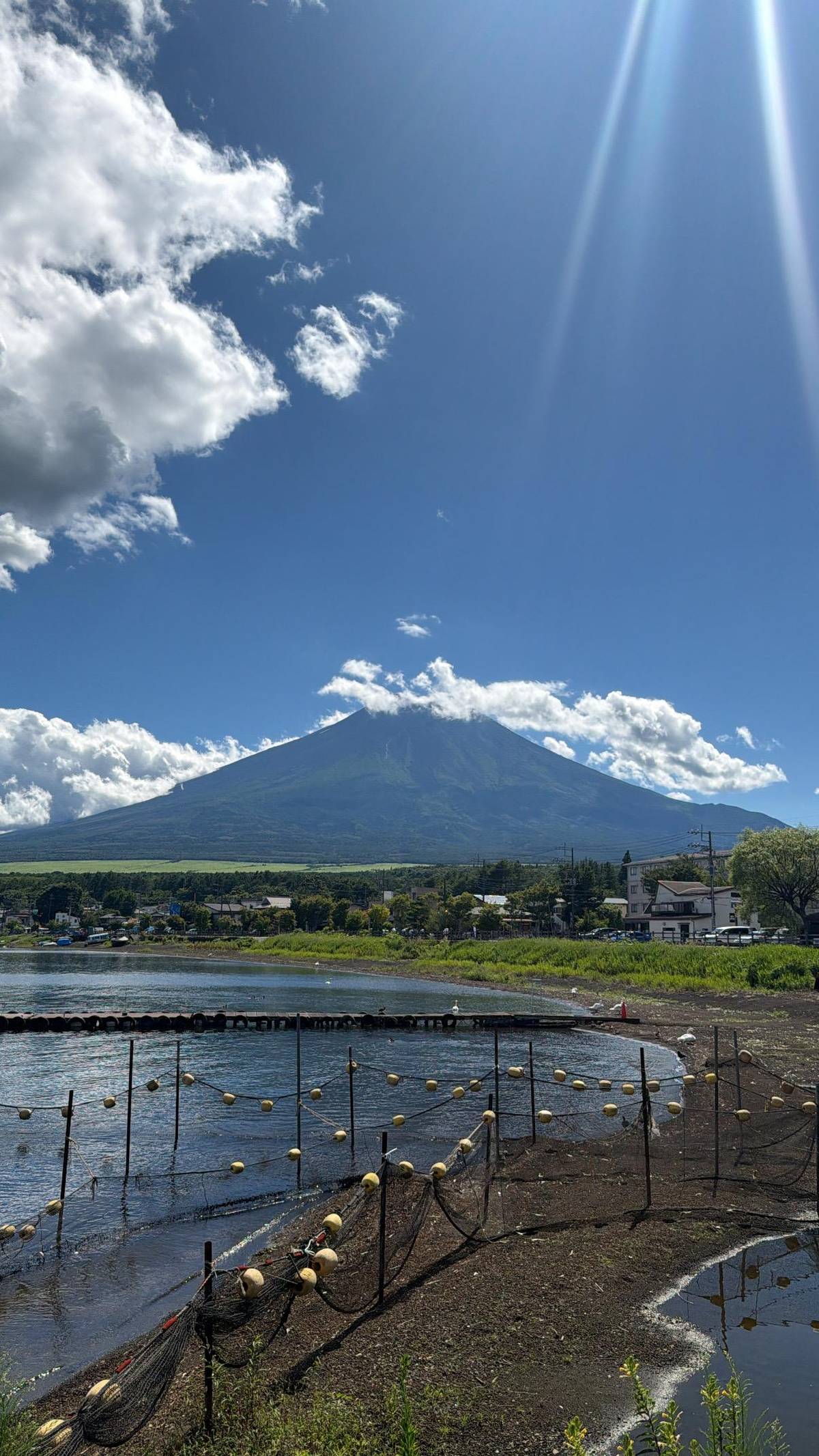
The Fuji Five Lakes, known locally as Fujigoko, are Yamanakako, Kawaguchiko, Saiko, Shojiko and Motosuko, in southeastern Yamanashi near the border with Shizuoka.347 Together they make up the Mount Fuji Five Lakes area that most tours from Tokyo mean when they promise lake views, and the lakes are among the parts of the World Heritage site.48
Lake Yamanaka is the nearest lake to the mountain, with the Hana no Miyako park and its summer and autumn flowers.13 Lake Motosu, the westernmost, is the deepest of the five and the view on the 1,000-yen note.1918 Lake Shoji is the smallest, and the reflection of Fuji on its surface is called the Upside-down Fuji.1731
Lake Sai has caves nearby and the thatched village of Saiko Iyashi no Sato Nenba close by.15 Saiko and Shojiko also share a geological story: the lava of the Jogan eruption of 864 split an older lake, the Senoumi, into the pair of lakes you see today.16 Lakes formed by lava blocking water are the theme of the whole district: the mountain built its own lake country.
This page recommends a day tour that strings the classics together. It lists Saiko Iyashi no Sato Nenba for an hour, Lake Kawaguchi and Oishi Park, Oshino Hakkai for an hour, Arakurayama Sengen Park, the shrine and the Chureito Pagoda, with 2 hours on the bus each way. It has 3,423 reviews averaging 4.82 and starts from $50.
Other days weight the stops differently. A top-spots tour gives Oshino Hakkai 1.5 hours and the pagoda 10 minutes. A heritage day adds the thatched village and gives the ponds 70 minutes. Each of them lets you cancel free up to 24 hours before.
Our featured tour takes a different line. It goes through Hakone first, then makes a 20-minute stop at the swan shore of Lake Yamanaka and gives Oshino Hakkai 40 minutes, without the pagoda. Choose it for variety, and a Five Lakes day for the pagoda. With a second day around the mountain, you can do both and see every classic view at least once.
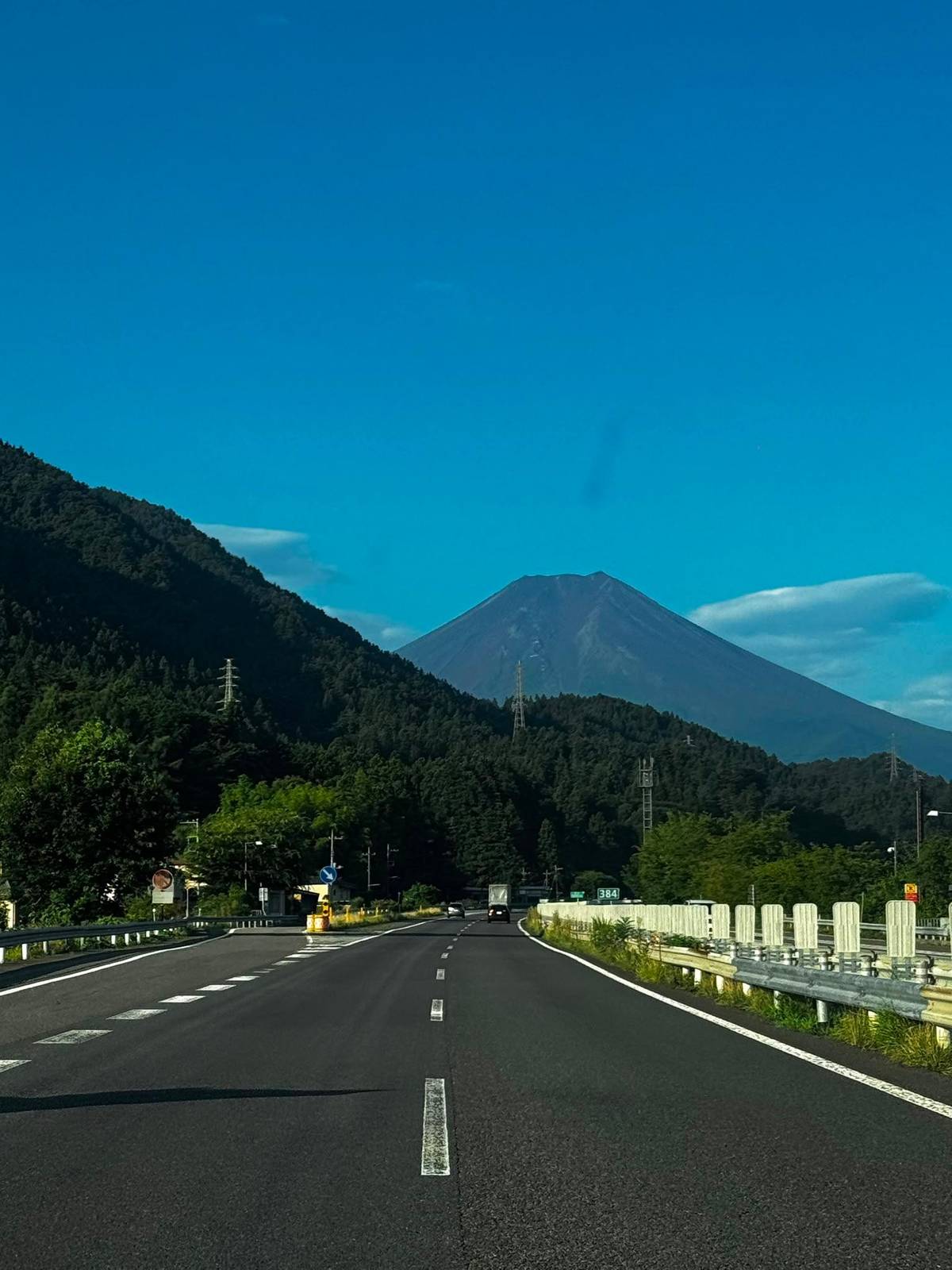
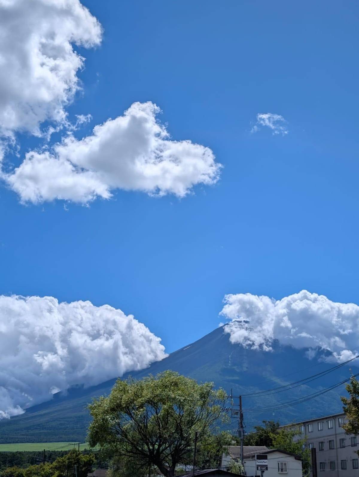
Early morning is the best time for close views of the mountain, and crisp winter days give the clearest air.4950 In June and early July the rainy season often hides the summit, so time the pagoda for another month if you can.51
In Shimoyoshida, the Honmachi shopping street runs straight towards the mountain and has become a popular viewpoint; the city asks photographers not to stand in the road, which carries traffic.52 Respect the residents: it is a working street, not a set, and the shopkeepers are not a backdrop.
At the pagoda deck, step aside after your shot so others can take theirs, and avoid tripods at busy times. At the ponds, keep to the paths and do not touch the water. A little patience usually gets you the picture; a crowd moving through leaves gaps now and then. And if the summit stays in cloud, photograph the pagoda against the sky anyway: it is a fine building in its own right, and the light on its red roofs changes through the day.
Your day at Fuji
Meet at Tokyo Station or Shinjuku, pick a date, and cancel free up to 24 hours before.
398 steps. They lead from the shrine at the foot of Arakurayama Sengen Park to the observation deck.1
Walk from Shimoyoshida Station. It takes about 25 minutes on foot from the station on the Fujikyu line.2
Yes, it is open 24 hours. The city also lists evening illumination of the cherry blossoms in spring.89
Lake Yamanaka. Japan's tourism organization calls it the nearest lake, with the Hana no Miyako park.13
Eight spring-fed ponds. A national natural monument since 1934 and part of the World Heritage site since 2013.4
Lake Motosu. Lake Motosu is the westernmost of the lakes and the deepest of the group.1918
No. It stops at Lake Yamanaka and Oshino Hakkai after Hakone; Five Lakes days include the pagoda.
Sources