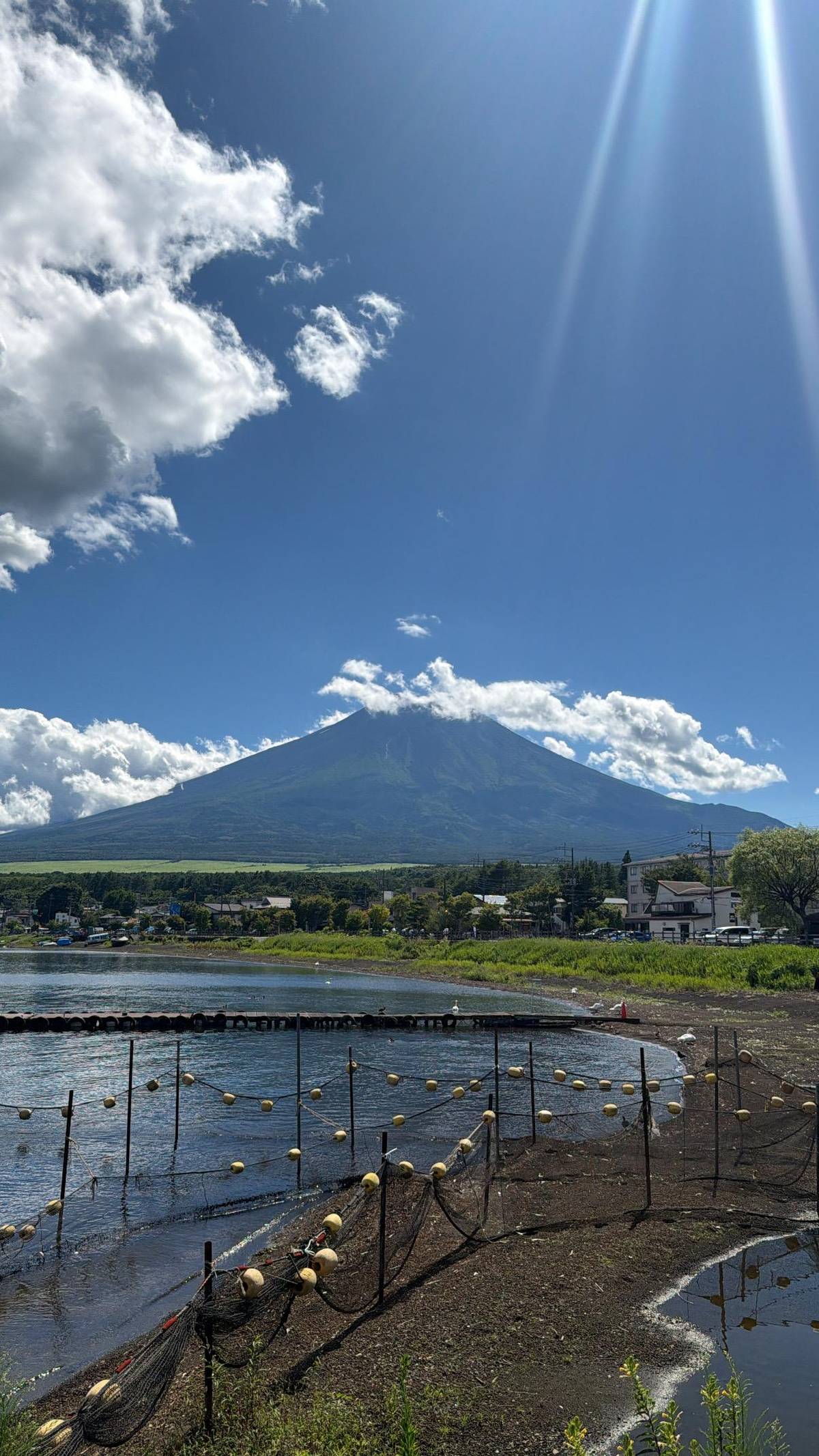
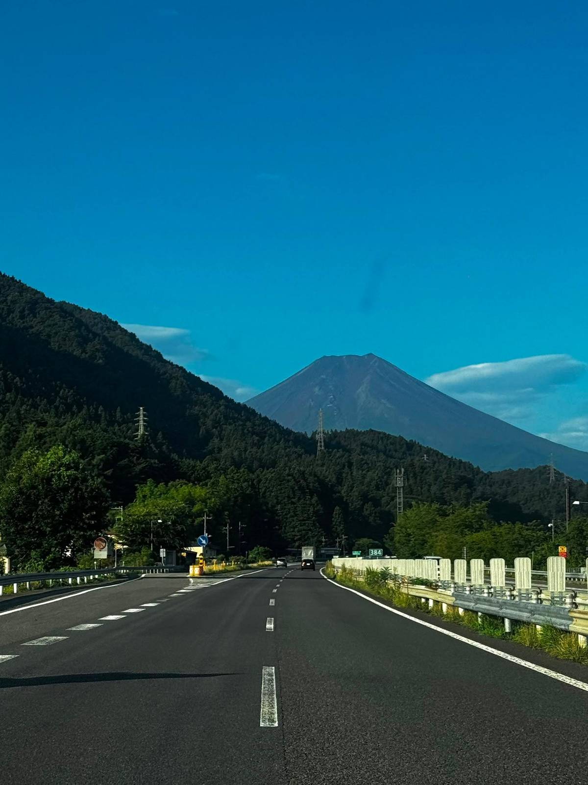
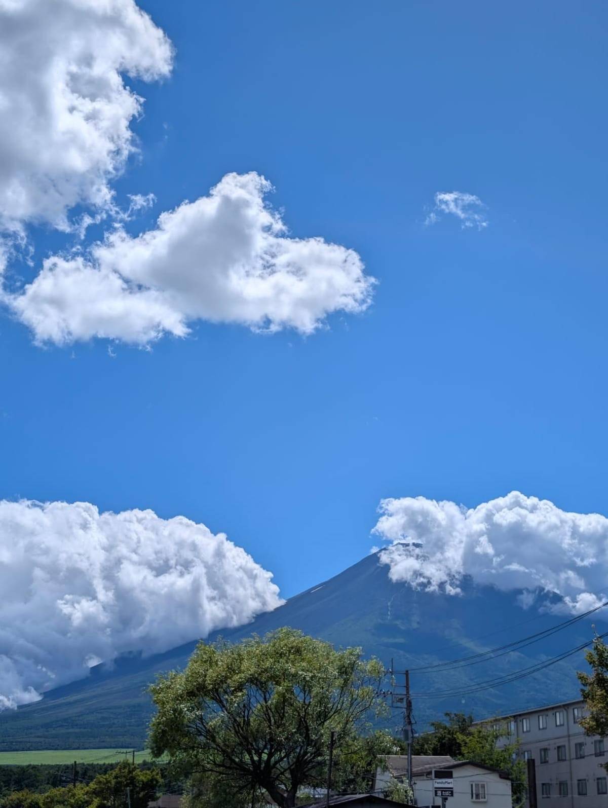
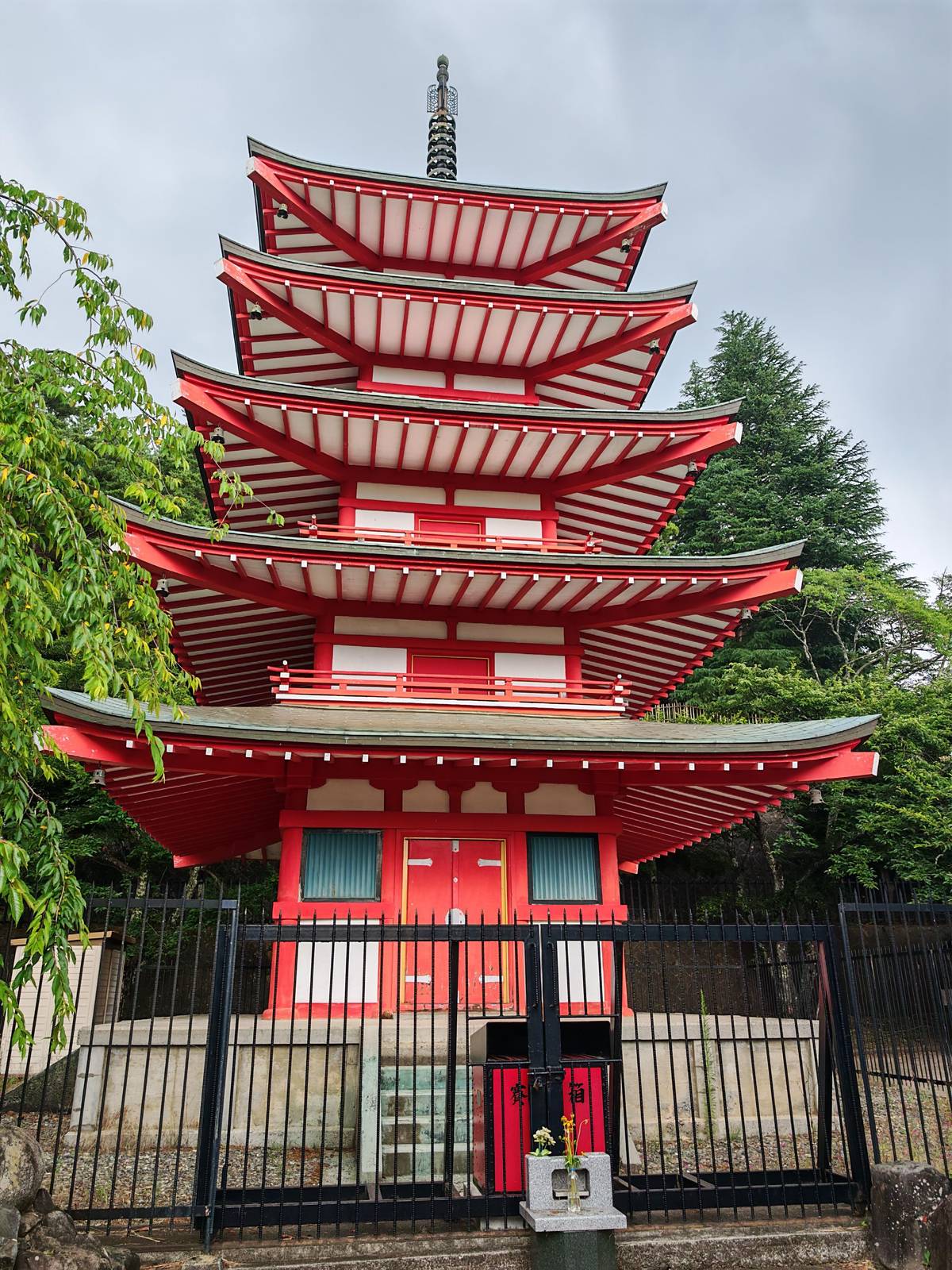
 This page's pick
Highlights day
Lakes, pagoda, then the station
- Hours
- 10
- At the station
- 40 minutes
- Price
- from $64
Guides
Language
EnglishCurrency
US dollar · $GetYourGuide shows prices in the currency you choose.
Guide · On the mountain
Halfway up the volcano, where the road ends and the trails begin. Here is which station is which, what you find up there, and which day tours actually go.
Editorial team, mount-fuji-tour.comUpdated October 22, 20266 minutes to read42 sources
Quick answer
The Mount Fuji 5th Station is not one place but four. The mountain has four climbing trails, Fujinomiya, Gotemba, Subashiri and Yoshida, and the official climbing site states that every trailhead starts from a 5th station, each reached by its own road.51 Above them, in summer, only the trails continue.
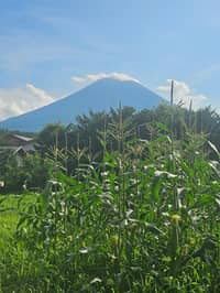
For a day visitor the stations are the highest point you can reach without hiking. You leave the lakes and forests behind, drive up through the tree line and step out into thin, cooler air with the summit cone rising above you and the plain spread out below. It is the closest a sightseeing day gets to the volcano itself, and the change from the green lakes to bare red and black rock is striking even when the summit is hidden.
The area above the 5th station is a National Park Special Protection Area, with strict rules to protect nature.6 That is why the stations look like what they are: a car park, a shrine, some shops and a trailhead, with the wild mountain starting a few steps away.
This page's tour
Morning
2 hours on the coach to the first stop.
First stop
30 minutes on the shore of Lake Kawaguchi.
Late morning
75 minutes, with the pagoda optional.
Midday
80 minutes, with time for lunch.
Afternoon
40 minutes up high, except in winter.
Evening
2 hours on the coach to the drop-off.
The station most visitors mean is the Fuji Subaru Line 5th Station on the Yamanashi side, the start of the Yoshida Trail at 2,305 m.7 The official climbing site calls the Yoshida Trail the most popular route.8 Fujiyoshida's tourist guide gives the station's altitude as about 2,300 m, with views of the lakes below and sometimes a sea of clouds.2
On the Shizuoka side, the Fujinomiya 5th Station is the highest trailhead, at 2,400 m, and the start of the shortest route to the summit.39 The Subashiri trailhead lies at 2,000 m in the forest zone, and the Gotemba New 5th Station sits far lower, at 1,440 m, with the longest walk up.1011
For sightseeing, the difference is access. The Subaru Line climbs from the Kawaguchiko side, the same area the lake tours visit, and its station is built for visitors, with shops, food and a shrine.212 The other three stations matter mainly to climbers who choose their trail first and their trailhead second.
The four trailheads
| Station | Altitude | Trail | Up to summit |
|---|---|---|---|
| Fuji Subaru Line | 2,305 m | Yoshida | 6.8 km, about 6 hrs |
| Fujinomiya side | 2,400 m | Fujinomiya | 4.3 km, about 5 hrs |
| Subashiri | 2,000 m | Subashiri | 6.9 km, about 7 hrs |
| Gotemba New | 1,440 m | Gotemba | 10.5 km, about 9 hrs |
Figures from the official Mt. Fuji climbing website's comparison of routes.731011
Tours that go up
This page's pickLakes, pagoda, then the station
 Longest stop
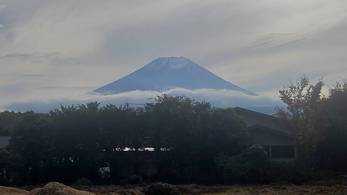
An hour up top, then the lakes
 Luxury bus
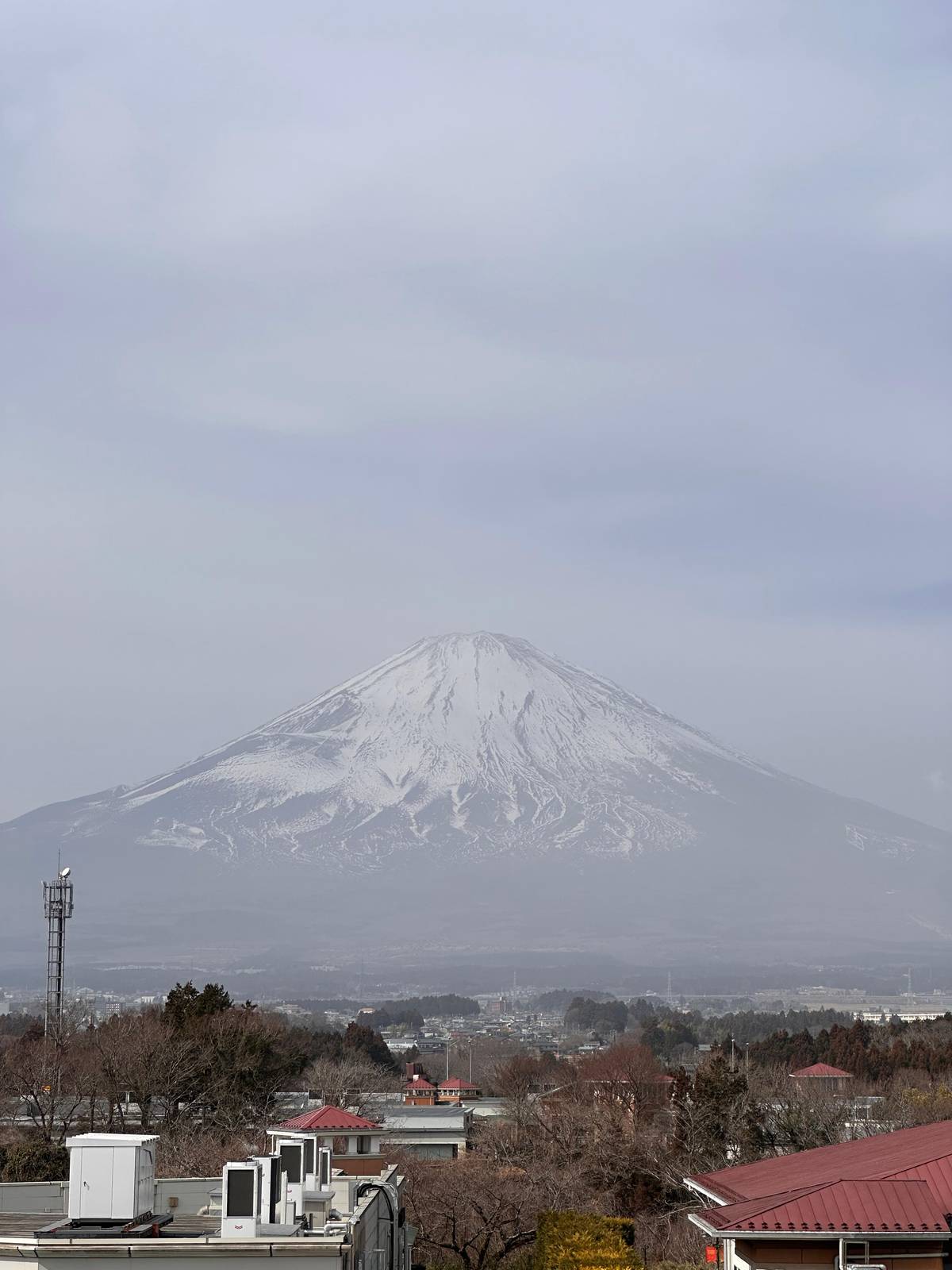
Mountain, shopping, ropeway
Decision helper
Weigh the mountain road against more time below
One highlights day lists 40 minutes at the 5th Station.
That same tour swaps the station for lower stops in winter.
More time at Arakurayama and Oshino Hakkai, no mountain road.
The Yoshida Trail leaves the Subaru Line station at 2,305 m.7
In 2026 private cars were barred from 3 July to 10 September.4
Located at an altitude of approximately 2300 meters, it offers mystical views of the Fuji Five Lakes below, and sometimes even a sea of clouds.
The Fuji Subaru Line 5th Station has souvenir shops, restaurants with mountain-themed food, and Komitake Shrine within the area.212 In the climbing season the gate of the Yoshida Trail stands at the trailhead right beside it.14
Bring cash: the official climbing site says plainly that there is no ATM at the 5th station.15 In winter the first-aid centre, toilets and mountain huts on the mountain are closed and cannot serve as shelters.16
Do not walk far above the station without proper gear. Even a short stroll onto the trail is a mountain walk on loose volcanic rock, and the weather changes fast at this height. The official site warns of large temperature differences between the 5th station and the summit, and of sudden changes in the weather.17 A clear sky at the car park can turn to cloud and rain within the hour, so treat the forecast for the summit, not for the lakes, as your guide.
Map
First the whole way from Tokyo with Hakone and Kamakura, then the five lakes at the north foot, then the four 5th stations around the summit.
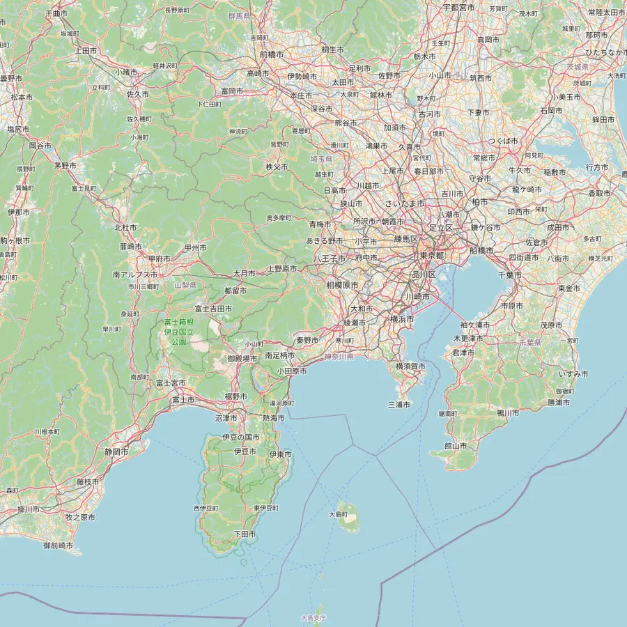 1Tokyo Station2Shinjuku3Kengamine summit4Kawaguchiko Station5Owakudani6Great Buddha, Kamakura
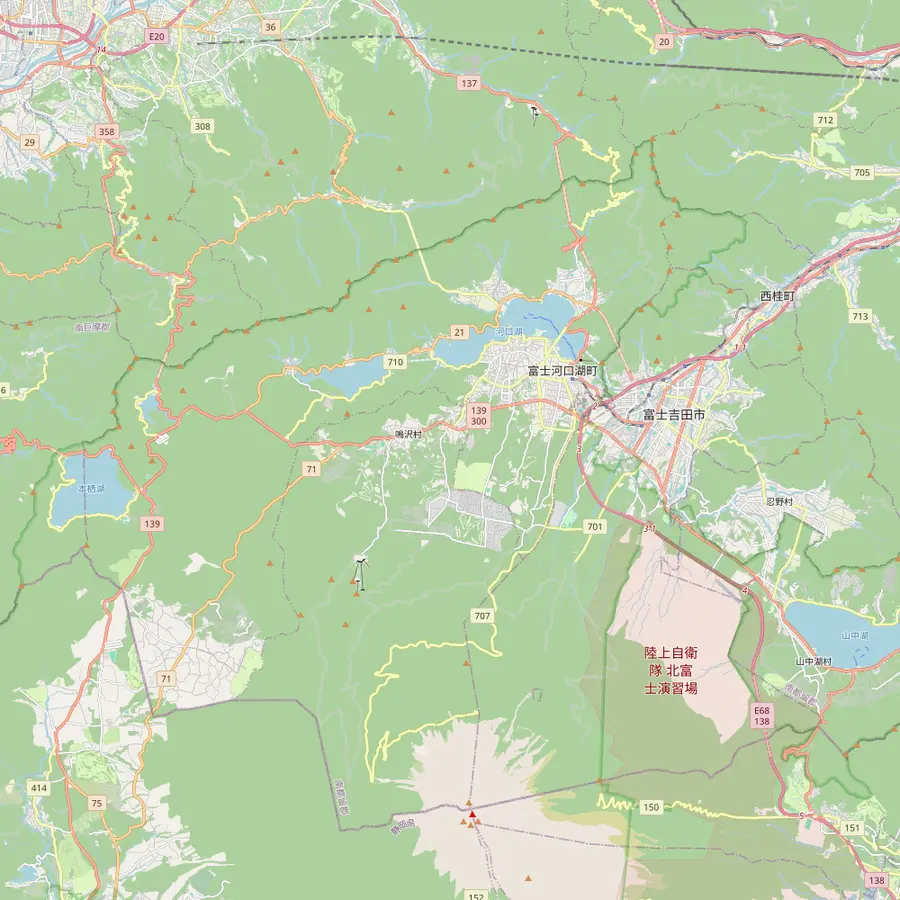 4Kawaguchiko Station7Oshino Hakkai8Lake Yamanaka swan shore9Chureito Pagoda10Oishi Park11Lake Sai12Lake Shoji13Lake Motosu
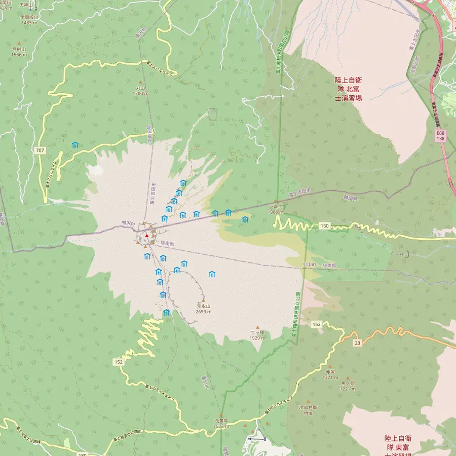 3Kengamine summit14Subaru Line 5th Station15Fujinomiya trailhead16Subashiri 5th Station17Gotemba New 5th Station18Hoei crater
Meeting point of the site tour at 8:00 AM, about 101 km in a straight line from the summit.18
In Google Maps ↗Second meeting point at 8:30 AM; the free 45th-floor observatories of the Tokyo Metropolitan Government stand here.19
In Google Maps ↗The highest point of Mount Fuji, 3,776 m, on the crater rim.13
In Google Maps ↗End of the Fujikyu line, 26.6 km from Otsuki; buses from Shinjuku get here in just under two hours.2021
In Google Maps ↗A 50-minute guided stop of the site tour, reached on the Hakone Ropeway.
In Google Maps ↗A bronze Buddha some 11.3 m tall, begun in 1252, about 74 km east of the summit.222324
In Google Maps ↗Eight spring ponds, a national natural monument since 1934 and part of the World Heritage site.25
In Google Maps ↗Lake Yamanaka is the nearest lake to Fuji; the site tour stops 20 minutes at its swan shore.26
In Google Maps ↗Up 398 steps in Arakurayama Sengen Park, about 25 minutes on foot from Shimoyoshida Station.2728
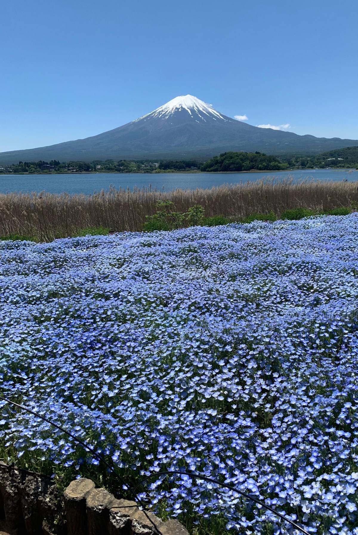
In Google Maps ↗A Lake Kawaguchi park where Fuji rises behind lavender in early summer.29
In Google Maps ↗Split off an older lake by the lava of the Jogan eruption of 864.30
In Google Maps ↗The smallest of the Fuji Five Lakes, known for its Upside-down Fuji reflection.3132
In Google Maps ↗The deepest of the five lakes and the view on the 1,000-yen note.3334
In Google Maps ↗Start of the Yoshida Trail at 2,305 m, with the climbers' gate and Komitake Shrine.71412
In Google Maps ↗Trailhead at 2,000 m; in 2026 the Subashiri Trail opened on 1 July.1035
In Google Maps ↗Trailhead at 1,440 m; the way up is 10.5 km, about 9 hours.11
In Google Maps ↗The southeast-flank crater of the eruption that began on 16 December 1707.36
In Google Maps ↗Checklist
Cost calculator
Enter your group size to compare days that go up the mountain.
Total from$128
per participant from $64
Check availabilityfree cancellationTotals here are a quick sum: the listing's GetYourGuide from-price times your party size, turned into your currency at the ECB rate for today. The final amount appears only at checkout.
Video
The video loads only when you tap play.
Temperature drops by about 0.6 °C for every 100 m you climb, so the stations feel much cooler than the lakes below, and the summit can be as cold as mid-winter even in summer.37 At the summit station the Japan Meteorological Agency's August normal is a daily high of 9.5 °C and a low of 3.8 °C.38
The 5th station sits between those extremes, well above Lake Kawaguchi and far below the crater. Pack a fleece and rain gear even when Tokyo is sweltering; a fleece that lives in your bag the rest of the trip will earn its place here. Sunscreen and sunglasses help too, as the thinner air at this height lets the sun burn faster than you expect.
Wind matters as much as temperature: on an open slope a steady breeze makes a mild afternoon feel cold within minutes. Watch the sky, and head back to the bus early if cloud builds around the summit or the wind picks up.
The Fuji Subaru Line climbs from the Kawaguchiko side to the station. Fujiyoshida's guide gives about 1 hour from Fujisan Station and about 50 minutes from the Kawaguchiko interchange via the Subaru Line.39 Coaches and private cars share the road for most of the year.
In the busy climbing season, private cars are kept off. In 2026 they were barred from the Fuji Subaru Line, the toll road up to the 5th station, from 3 July to 10 September.4 The rule applies to private cars, so if you visit in that period, check how your tour or bus reaches the station.
In winter the stations change character. The trails above are closed outside the summer season, and the official site strongly advises against climbing then.4041 Some tours also change their plan: our pick for this page swaps the 5th station for lower stops in winter, which its listing states openly.
The tour this page recommends is a highlights day of 10 hours with 5,247 reviews. Its listed stops are Oishi Park for 30 minutes, Arakurayama Sengen Park for 75, Oshino Hakkai for 80 and the Mount Fuji 5th Station for 40, with 2 hours on the coach each way. It starts from $64.
Its winter note matters: in winter it goes to the 4th station or 1st station area, or to Hana no Miyako on Lake Yamanaka, instead of the 5th station. Another day from Shinjuku lists a full hour at the 5th station before Oishi Park and Oshino Hakkai, and starts from $35, though with only 56 reviews averaging 4.13.
A luxury-bus day spends 40 minutes on the mountain before 1.5 hours at the Gotemba outlets and a quick pass through Hakone. Our featured site tour, by contrast, does not go up to any 5th station at all; it trades the mountain road for Hakone and Lake Yamanaka.
If you will not climb, the station is the only way to stand on the volcano itself, and on a clear day the view over the lakes is wide and memorable. On a cloudy day you may stand inside the cloud and see little more than the car park, which no tour can rule out.
If the summit is your real goal, the 5th station is just the start. The climb from the Subaru Line takes about 6 hours up and 4 down on the Yoshida Trail, and only in the summer season.742 Our guide to the hike covers the trails, the fee and the rules.
And if you mainly want the classic views, a lakes day without the road up gives you more time at the pagoda and the ponds. Choose the 5th station when the mountain itself is what you came for, check the season first, and pack for weather a long way from Tokyo's. Whichever day you book, with no fee for cancelling until 24 hours ahead, you can switch if the forecast for the mountain looks grim.
Your day at Fuji
Meet at Tokyo Station or Shinjuku, pick a date, and cancel free up to 24 hours before.
About 2,300 m. The official climbing site gives 2,305 m for the Yoshida trailhead at the Fuji Subaru Line 5th station.27
The one on the Fujinomiya side. It stands at 2,400 m and starts the shortest route to the summit.39
Not in a private car in high summer. In 2026 private cars were barred from 3 July to 10 September.4
No. The official climbing site says there is no ATM at the 5th station, so bring cash.15
Much colder than Tokyo. Temperature falls about 0.6 °C for every 100 m of height gained.37
No. It visits Hakone, Lake Yamanaka and Oshino Hakkai; pick a 5th Station listing instead.
Some change plans. One tour swaps the 5th station for lower stops in winter, as its listing says.
Sources