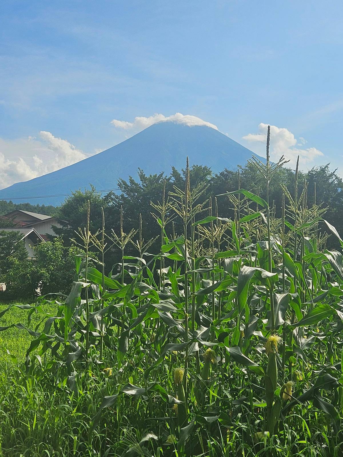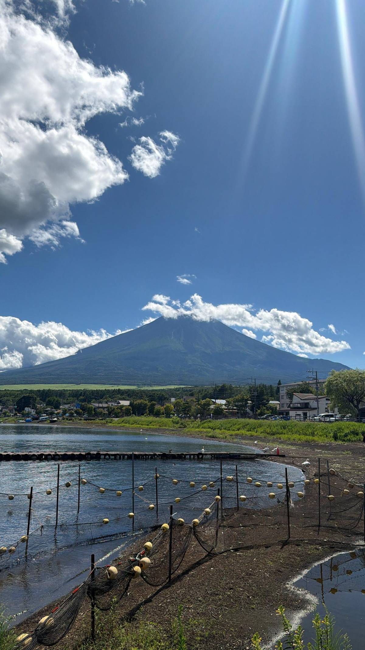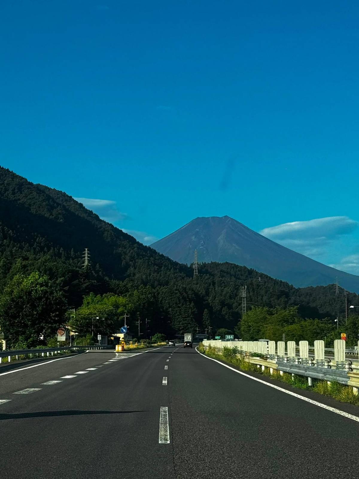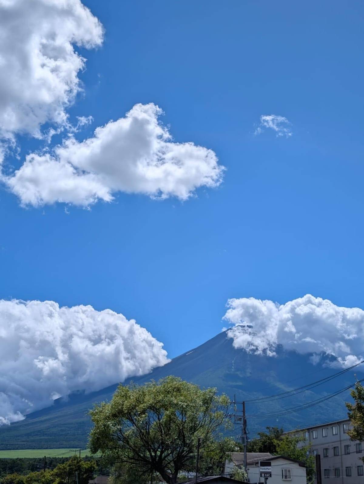
 Easiest
From the lakes
A day at its northern foot
- Where
- Five Lakes, Oshino
- When
- All year
- Effort
- Easy walks
Guides
Language
EnglishCurrency
US dollar · $GetYourGuide shows prices in the currency you choose.
Guide · Facts
Japan's highest mountain stands on the border of two prefectures, about 101 km from Tokyo Station, and it is an active volcano under constant watch. Here are the facts that matter.
Editorial team, mount-fuji-tour.comUpdated October 22, 20266 minutes to read59 sources
In a nutshell
Where is Mount Fuji? It rises over Shizuoka and Yamanashi prefectures in central Japan, and Japan's tourism organization notes that it can be seen from distant Tokyo.1 The Fuji Five Lakes at its northern foot lie in southeastern Yamanashi near the border with Shizuoka.7
The summit sits at 35°21'39" N and 138°43'39" E.8 On the Geospatial Information Authority of Japan's calculator, that point is about 101 km from Tokyo Station, with Tokyo lying to the east-northeast; seen from the capital, the mountain stands to the west-southwest.2
In practice that gives a visitor a choice of sides. The north side, Yamanashi, has the lakes, Fujiyoshida and the most popular climbing trail, the Yoshida Trail.9 The south and east sides, Shizuoka, have the other trailheads and the coast, where the bullet train between Tokyo and Kansai passes the mountain.10
Eruption history
5,600-3,700 years ago
The edifice you see today was built in this period.11
800 to 802
One of the large historical eruptions in the catalogue.12
864
Lava split the Senoumi into Lake Shoji and Lake Sai.13
16 December 1707
A Plinian eruption on the southeast flank.6
Same day
At Kawasaki the ash lay 5 cm deep.14
15 March 2011
An earthquake shook the southern foot of the volcano.15
How tall is Mount Fuji? The official figure is 3,776 m, measured at Kengamine, the highest point on the crater rim, which is the Geospatial Information Authority of Japan's measuring point.3 The Japan Meteorological Agency describes it as the highest mountain in Japan.4
The climbing site gives the same 3,776 m and stresses what that height means: temperature falls by about 0.6 °C for every 100 m, and even in summer the summit can be as cold as mid-winter.1617 The agency's summit station records an annual mean of -5.9 °C.18
The mountain is also big at its base, far bigger than the cone suggests from a distance. The agency gives an approximate volume of 400 km3 for the whole edifice, including the older volcanoes buried inside it, on a base 50 km across.19 Seen from far away, that broad base and the even slopes above it make the silhouette easy to recognize, whether from a train window, a Tokyo tower or a lake shore.
Key facts
| Fact | Figure | Source |
|---|---|---|
| Height at Kengamine | 3,776 m | Japan Meteorological Agency |
| Type | Stratovolcano | Japan Meteorological Agency |
| Flank eruption sites | more than 100 | Japan Meteorological Agency |
| Last eruption | 16 December 1707 | Japan Meteorological Agency |
| World Heritage | 2013, 25 parts | JNTO, Fujikyu Railway |
| Summit, yearly mean | -5.9 °C | Japan Meteorological Agency |
| Climbers each summer | roughly 300,000 | JNTO |
From the Japan Meteorological Agency's volcano catalogue and climate normals, the Japan National Tourism Organization and the Fujikyu Railway.3423624251826
Three ways to meet the volcano
Decision helper
Pick the experience that fits your trip
The Five Lakes lie at the northern base in Yamanashi.7
Lava from 864 split the Senoumi into Lake Shoji and Lake Sai.13
The Subaru Line station stands at about 2,300 m.27
In 2026 the main trail opened 1 July to 10 September.28
Both are parts of the World Heritage site.24
In 1707 a Plinian eruption on the southeastern flank caused a large amount of ash fall towards Edo to damage seriously.
Is Mount Fuji a volcano? Yes. The Japan Meteorological Agency classes Fujisan as a stratovolcano that overlies older volcanoes, Komitake and Kofuji, and lists it among the volcanoes it monitors continuously.45 The volcano has more than 100 flank eruption sites as well as its summit crater.23
The cone you see is young in geological terms. According to the agency, the main edifice was built roughly 5,600 to 3,700 years ago, and in the last 2,300 years its activity has consisted of fissure eruptions on the flanks.1130
Being active does not mean being dangerous every day. It means that the volcano has erupted in historical times, can erupt again, and is watched by instruments around the clock. For a visitor, the practical step is simple: check the official climbing site and the news before you go up the mountain, as you would check the weather. A day at the lakes is planned around the weather far more often than around the volcano, but it costs nothing to look.
Map
First the whole way from Tokyo with Hakone and Kamakura, then the five lakes at the north foot, then the four 5th stations around the summit.
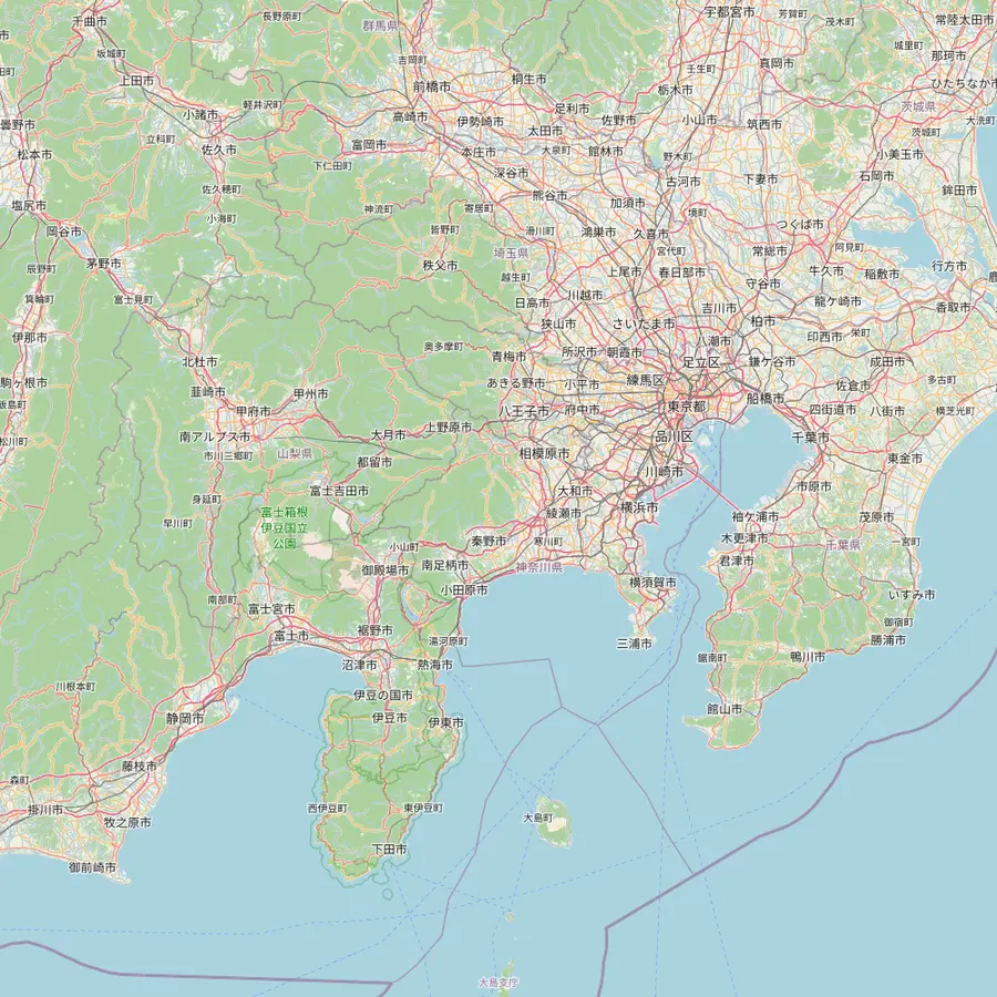 1Tokyo Station2Shinjuku3Kengamine summit4Kawaguchiko Station5Owakudani6Great Buddha, Kamakura
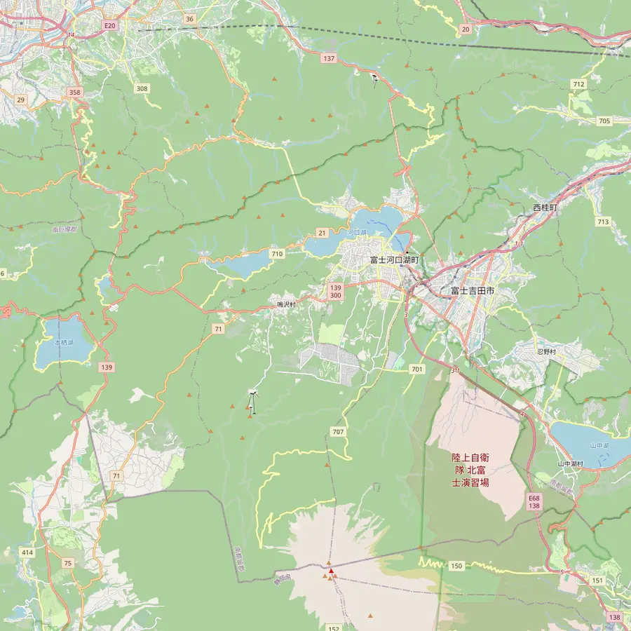 4Kawaguchiko Station7Oshino Hakkai8Lake Yamanaka swan shore9Chureito Pagoda10Oishi Park11Lake Sai12Lake Shoji13Lake Motosu
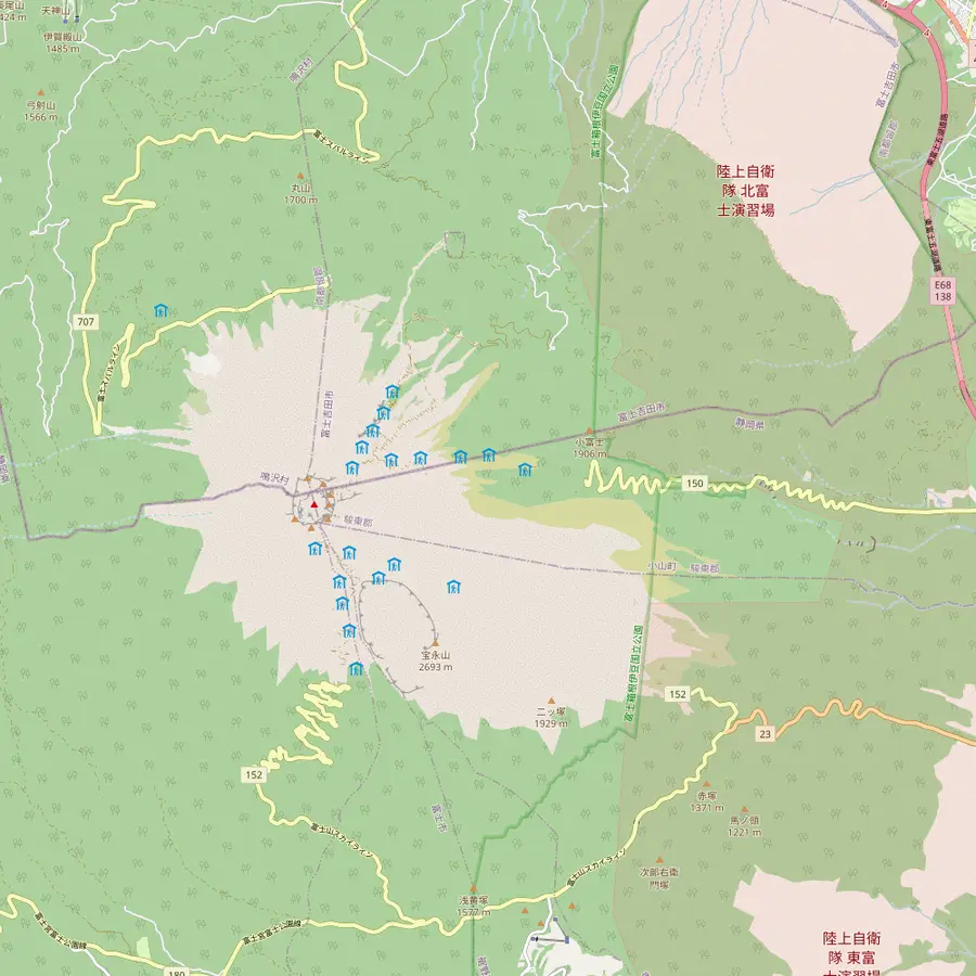 3Kengamine summit14Subaru Line 5th Station15Fujinomiya trailhead16Subashiri 5th Station17Gotemba New 5th Station18Hoei crater
Meeting point of the site tour at 8:00 AM, about 101 km in a straight line from the summit.2
In Google Maps ↗Second meeting point at 8:30 AM; the free 45th-floor observatories of the Tokyo Metropolitan Government stand here.31
In Google Maps ↗The highest point of Mount Fuji, 3,776 m, on the crater rim.3
In Google Maps ↗End of the Fujikyu line, 26.6 km from Otsuki; buses from Shinjuku get here in just under two hours.3233
In Google Maps ↗A 50-minute guided stop of the site tour, reached on the Hakone Ropeway.
In Google Maps ↗A bronze Buddha some 11.3 m tall, begun in 1252, about 74 km east of the summit.343520
In Google Maps ↗Eight spring ponds, a national natural monument since 1934 and part of the World Heritage site.36
In Google Maps ↗Lake Yamanaka is the nearest lake to Fuji; the site tour stops 20 minutes at its swan shore.37
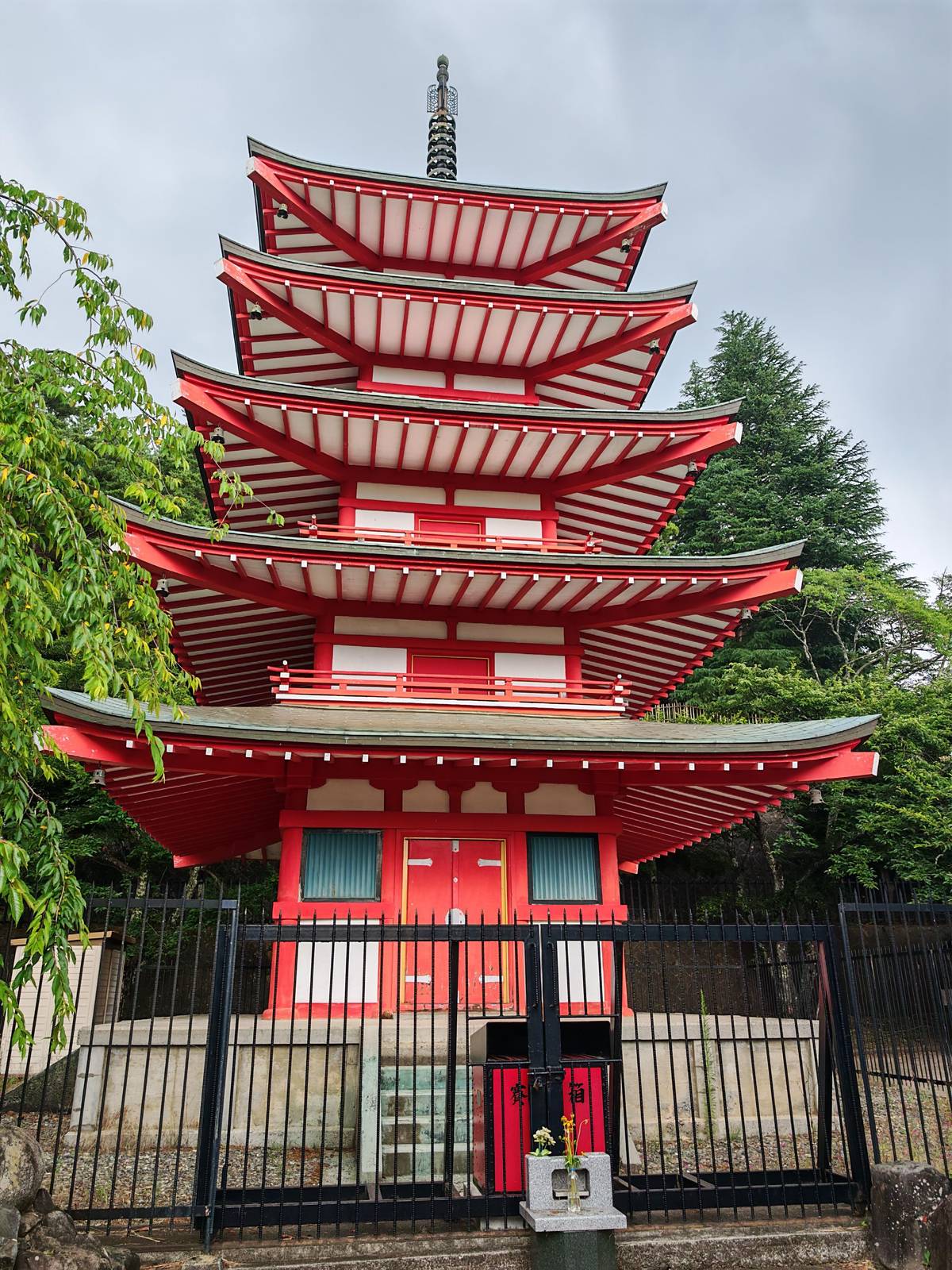
In Google Maps ↗Up 398 steps in Arakurayama Sengen Park, about 25 minutes on foot from Shimoyoshida Station.3839
In Google Maps ↗A Lake Kawaguchi park where Fuji rises behind lavender in early summer.40
In Google Maps ↗Split off an older lake by the lava of the Jogan eruption of 864.13
In Google Maps ↗The smallest of the Fuji Five Lakes, known for its Upside-down Fuji reflection.4142
In Google Maps ↗The deepest of the five lakes and the view on the 1,000-yen note.4344
In Google Maps ↗Start of the Yoshida Trail at 2,305 m, with the climbers' gate and Komitake Shrine.454647
In Google Maps ↗Trailhead at 2,000 m; in 2026 the Subashiri Trail opened on 1 July.5051
In Google Maps ↗Trailhead at 1,440 m; the way up is 10.5 km, about 9 hours.52
In Google Maps ↗The southeast-flank crater of the eruption that began on 16 December 1707.6
In Google Maps ↗Cost calculator
Enter your group size to compare days around Mount Fuji.
Total from$107
per participant from $54
Check availabilityfree cancellationTotals here are a quick sum: the listing's GetYourGuide from-price times your party size, turned into your currency at the ECB rate for today. The final amount appears only at checkout.
Video
The video loads only when you tap play.
The last Mount Fuji eruption began on 16 December 1707 on the southeast flank, at what is now the Hoei crater.6 The agency describes it as a Plinian eruption that sent a large amount of ash towards Edo, the old name of Tokyo, and seriously damaged the region.29
Ash fell on Edo on the first day; at Kawasaki it lay 5 cm deep.14 The eruptions continued on and off until the end of the month, and the agency rates the event VEI 5, with 0.7 km3 of magma.5354 The crater is still visible on the southeast slope.6
Since then the mountain has been quiet on the surface, though not entirely still. The agency records an M6.4 earthquake at the southern foot on 15 March 2011.15 The large eruptions in the catalogue reach back to the years 800 to 802, so the mountain's moods are recorded over a long span of written history.12 Its catalogue lists the large historical eruptions as the Enryaku eruption of 800 to 802, the Jogan eruption of 864 and the Hoei eruption of 1707.12
Fuji's eruptions did more than add height. The Jogan eruption of 864 poured out the lava now called the Aokigahara lava, and the flow that reached the northwest split an older lake, the Senoumi, into Lake Shoji and Lake Sai.13 That single event gave the lakes district part of its present shape.
The springs of Oshino Hakkai tell a related story. The Oshino basin was once a lake that dried out, leaving ponds fed by the mountain's groundwater; the ponds became a national natural monument in 1934.5536 Standing beside them, you are looking at water that fell as rain and snow on the volcano and filtered through its rock before rising again at its foot.
That is why a day at the foot of the mountain is also a day on the volcano. The lakes, the lava fields of the forest and the clear spring ponds are all products of its eruptions, and the tours that visit them show you Fuji's work even when the summit is hidden in cloud.
In 2013 the mountain became a World Heritage Site.25 The UNESCO property, Fujisan, sacred place and source of artistic inspiration, comprises 25 separate areas, including the Fuji Five Lakes, Sengen shrines, Oshino Hakkai and the pine grove of Miho-no-Matsubara, and it includes pilgrim routes up the mountain.2456
Much of Fuji's status as the symbol of Japan comes from art: Japan's tourism organization credits the ukiyo-e prints of Katsushika Hokusai (1760-1849) and Utagawa Hiroshige (1797-1858).57 At its northern foot, Kitaguchi Hongu Fuji Sengen Shrine holds the mountain-opening ceremony every year on 1 July.58
Those are the Mount Fuji facts most visitors never hear on a coach. They make a good thread for a day at the lakes: ask your guide about them at Oshino Hakkai, where the ponds were once a pilgrimage site for the believers who climbed the mountain.59
Climbing to the summit is possible only in the summer season; in 2026 the Yoshida Trail was open from 1 July to 10 September.28 Japan's tourism organization counts roughly 300,000 climbers each summer.26 Our guide to the hike explains the trails, the fee and the rules, including the night gate and the daily limit on the busiest trail.
For most visitors the foot of the mountain is the goal. Our featured tour spends a day from Tokyo at Hakone, Lake Yamanaka and Oshino Hakkai, takes 10 hours and starts from $54. Its operator states that the view of the summit depends on the weather and is not guaranteed.
Whichever way you go, the numbers on this page help you read the landscape: the 1707 crater on the southeast slope, the lakes split by lava in 864, and a summit that, at 3,776 m, stands a long way above the lakes you are standing beside.6133
Your day at Fuji
Meet at Tokyo Station or Shinjuku, pick a date, and cancel free up to 24 hours before.
Shizuoka and Yamanashi. The mountain rises over both prefectures, with the Five Lakes on the Yamanashi side.17
3,776 m. Measured at Kengamine, the highest point, the national survey's measuring point.3
Yes. The Japan Meteorological Agency lists it among the volcanoes it monitors continuously.5
In December 1707. The Hoei eruption began on 16 December 1707 on the southeast flank.6
About 101 km. That is the straight line from the summit to Tokyo Station on the official calculator.2
Yes, since 2013. The UNESCO property has 25 parts, including the Five Lakes and Oshino Hakkai.2524
In summer, with preparation. In 2026 the main trail was open from 1 July to 10 September.28
Sources